
When you drive from Nashville to Jackson, you have a couple of options. Nashville-B’ham-Jackson or Nashville-Memphis-Jackson. (Forget the Natchez Trace — only do that route if you have six months to live and want it to seem like six years) Most of the time, I go through Birmingham, particularly if I am going to Dave’s HQ in Franklin. Yesterday, I was starting near Opryland. Google Maps told me to go through Memphis, but I had come up that way and fought with trucks the whole time on 40 (thanks Fed-Ex). I love trucks, mind you, and know they keep the economy rolling. But when they get next to each other and you’re stuck behind them doing 50 in a 70 zone, it is maddening. So I decided to go through B’ham on the way home.
Little did I know I was about to go on Homer’s Odyssey (while driving a Honda Pilot).
First of all, 440 in Nashville is a classic example of building the drunk-driving laws into the road. If you have one drink, you’re going to die in a fireball after hitting a construction barrier. I was at the end of the rush hour and while the traffic was backed up (oh yeah, it was raining, too which apparently Nashvillians — who are all former Mississippians — can’t drive in the rain either). I only said a few cuss words until I got to I-65. I made it past Brentwood and Franklin with no problem and then my phone (and Garmin on my car) told me of major slowdown ahead. Both recommended I cut cross country to get back to 40. I would save 30 minutes.
I had already wasted at least 45.
So turned right and I toured Spring Hill, Tennessee — which is quite lovely I might add. I drove through the rural Williamson County countryside in the fog and the rain, picked up 840 eventually and made it to I-40. The trucks were so glad to see me that they slowed down to show it.
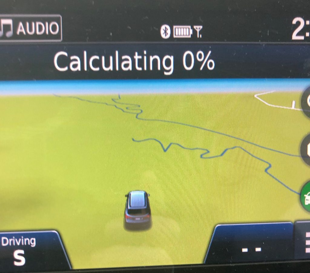
The new bypass around Memphis is the bee’s knees, btw, but it totally confused my outdated Garmin map (see attached photo). It dumped me out at Hernando and I continued South to Batesville (Since I’ve been teaching at Ole Miss, I have been making that drive weekly and can do it in my sleep — and have a couple of times). I made it to 82 and my Google Maps told me that I-55 was shut down. I was in denial but my estimated time of getting home. 5:29, climbed up to 6:21. Amy had ordered takeout that I had to pick up and I didn’t want to eat cold slop when I got home. Hell, I just wanted to GET home. The siren song of staying on the interstate called to me. I sang to the top of my lungs to drown its seductive cry out.
I turned off at West and took Highway 51 through West and Durant to bypass the closed interstate.
West is gorgeous. The homes and the old church near the water tower are really pretty. Durant seemed nice, too — although it was dark, foggy and rainy. I was praying I wouldn’t hydroplane and end up in a cotton field. My food really would have been cold if that had happened.
I got back on 55 at the Yazoo County Line and headed south again. My estimated time of arrival now was 5:45. I was home free.
And then a deer started to run out in front of me right as I got to Canton. As he stood on the side of the interstate pondering his death by my car, I screamed, “Not today, you son of doe!”
I am glad I travel alone.
I made it home with semi-warm food, a cramping back and a thankful heart. My odyssey was finally over. All I know is this, if Homer had had Google Maps, he could have avoided so many of the delays that made his journey so long. I know without it, I would have had a very cold dinner.